Geotechnical Services
We provide geotechnical services to a wide range of sectors.
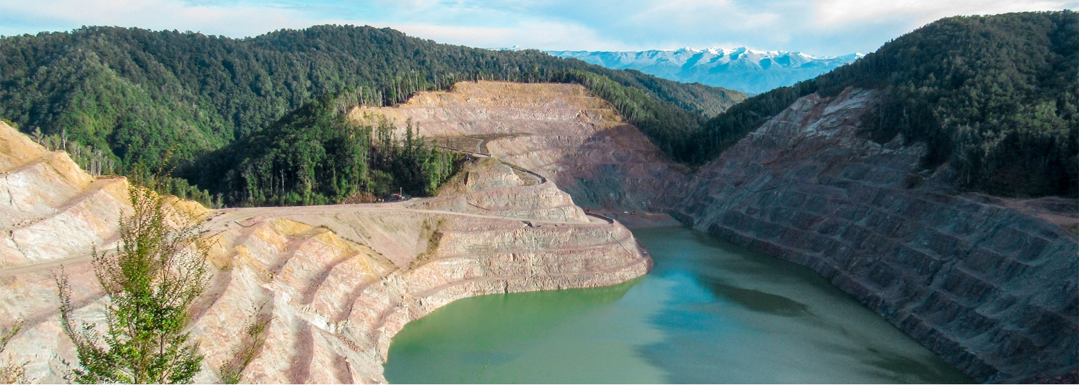
PDP provides geotechnical services to a wide range of clients in sectors including pipelines and other lifelines, land development (residential/commercial/industrial), three waters, quarries and mining, water retaining structures including dams, ponds and stop banks, large/primary industry, transport (roads/rail/ports/airports), energy including renewables and petroleum, and solid waste. We also provide specialist advice including emergency response, consent reviews and forensic geotechnical engineering.
Services that we provide:
Engineering Geology
- Mapping – land-based, aerial imagery, UAV (Un-personed Aerial Vehicle or drone), geospatial analysis and digital remote sensing (photogrammetry/LIDAR (Light Detection and Ranging) and InSAR (Interferometric Synthetic Aperture Radar))
- Geomorphology
- Landslides assessments
- Surface and subsurface erosion – including geophysics interpretation
- Rock slopes
- Faults
- Aggregate quarry resources and road construction materials
Geohazards and Lifelines
- Geohazard identification and risk assessment for lifelines, infrastructure and mining/quarrying including high-pressure gas/petroleum products and water pipelines. This type of work is crucial post a Civil Defence event such as the recent Nelson & Northland floods.
- Corridor hazard, route selection and options assessments
- Climate change implications
- Landslide, soil slope and rock slope stability assessments
- Coastal cliff hazard and risk assessments
- Emergency response and assessment
Remedial & Detailed Design
- Landslide stabilisation – drainage, buttress/retention, shear keys, soil nails
- Rock slopes – rock anchors, bolting, shotcrete, mesh, abseil rock scaling, rockfall catch fences, rockfall bunds
- Ground improvement/problem soils – liquefiable ground, re-use of existing materials - sustainability
- Geosynthetic applications – including geogrid reinforced gravel rafts
- Deep foundation/excavation support and temporary support – sheet piles
- Earth retaining structures - retaining walls, gabions, MSE walls
- Dams, embankments, ponds, canals, tailings facilities and waste rock disposal
- Stream and coastal erosion protection
- Earthworks specifications
- Erosion and sediment control
- PS1 (Design) and PS2 (Design Review) sign off and tender evaluation
Construction Monitoring
- Remedial works procurement (tender) process
- Engineer To the Contract (ETC)
- Contractor liaison, construction supervision/monitoring and as-builting
- PS4 sign off
Geotechnical Monitoring
Monitoring for geohazards, dams and remedial works
- Movement networks (survey, manual and automated)
- Piezometers and transducers
- Inclinometers and extensometers
- Rainfall gauges
- Drain and stream flow recording
- Remote monitoring systems
Geotechnical Investigations
- Desktop review and mapping
- Perform/supervise/log hand augers, scala penetrometer, drilling, CPT, test pits/open excavations and geophysical (surface and downhole)
- In situ sampling and testing - permeability, nuclear densometer, compaction trials, clegg hammer
- Out-sourced laboratory testing including acid sulphate soils
Ground Models, Stability Assessments and Geotechnical Reporting
- Landslides in all geological terranes
- Rock slopes – cuttings, quarries, open pit mines, rock mass classification
- Kinematic assessments including rockfall analysis
- Seismic assessments - liquefaction induced ground settlements, lateral spreading/stretch, fault rupture risk
- Subsurface and surface erosion – including tomos
- Deep and shallow excavations/foundations and piles
- Earth dams, embankments, ponds, canals - condition assessments and optimizing of existing structures, breach modelling
- Rivers and streams – erosion, flooding, accretion surveys and stop banks
- Mining waste rock stack/dump design (co-disposal), tailings dam surveillance, safety and stability risk assessments
- Dewatering drawdown and settlement, seepage and inflow
- Resource delineation for aggregate quarries and roading construction materials
- Land development foundations, retention (retaining walls) and ground improvement – residential/commercial/industrial
- Road foundation assessments - green and brown fields
- Ground support, HDD, pipe jacking
Solid Waste
- Site Investigation
- Waste assessments
- Landfill engineering design
- Liner design – natural and geosynthetic
- Management plans
- Bond assessment
Emergency Event Response and Specialist Advice
- Rapid incident/event response
- Forensic geotechnical engineering
- Insurance claims post failures
- Resource consent reviews
- Climate change risk assessments – geohazards